Introduction to today's journey
Today's journey continues following the shore of Lake Samsonvale from Forgan Cove before following a row of pylons to Warner Lakes, from where I follow Four Mile Creek downstream to its mouth in South Pine River. I follow South Pine River upstream to the Bald Hills Bridge before following the river downstream on the other side to as far as Barrunwarra Park.
Distance hiked today: 29.5km
Total distance hiked: 1037.5km
Today's Journey
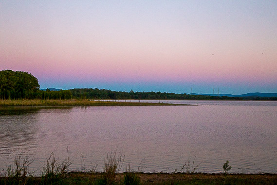 |
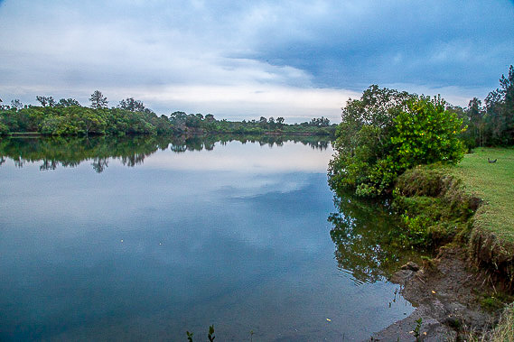
Watching the dawn glow of night disappear over the western horizon a little before sunrise as I set off from Forgan Cove following the trail around more headlands and channels on Lake Samsonvale. |
 |
A good track goes through the scrubby forest above the lake winding its way around the channels and headlands. |
 |
The track ends at a row of powerlines bringing electricity from the power stations up north into Brisbane. A track follows these powerlines over a couple of low ridges and into some gullies through Cashmere and into Warner. |
 |
The pathway continues until I reach Warner Lakes, where I rest before following the pathways around the succession of lakes flowing into Four Mile Creek. |
 |
Upon reaching the end of the lakes, I follow Four Mile Creek downstream. The track passes through some interesting patches of rainforest in between areas of suburbia. |
 |
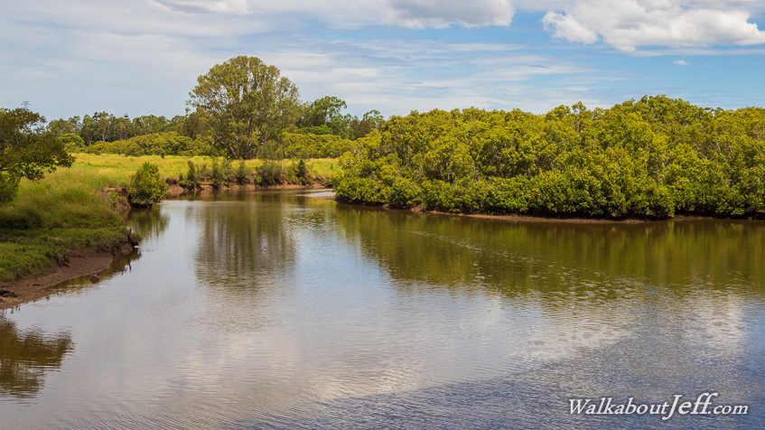
The track goes all the way to near the mouth of Four Mile Creek, where the tide quickly widens it into a lagoon. From here I cut across some new suburbia towards South Pine River. |
 |
I reach South Pine River near its mouth into the North Pine River where I stop for lunch. From here I follow a few trails upstream. |
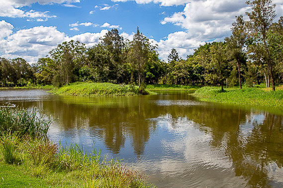 |
After a couple of hours of following the river upstream, I reach a couple of billabongs at Pine Rivers Park. The track winds its way around these billabongs as the clouds quickly thicken overhead. |
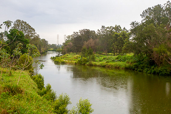 |
Rain begins falling as I reach the Bald Hills Bridge crossing the South Pine River. This marks the end of the Moreton Bay Region and the start of the Brisbane City local government area. This also marks the northern limit of the Gubbi Gubbi tribal lands. |
 |
Once across South Pine River, I walk through Bald Hills returning to the river some way downstream at Canterbury Park, where I follow a trail further downstream to the Barrunwarra Boat Ramp to end today's hike. |
|