Introduction to today's journey
Today's journey leaves the city centre following the Brisbane River upstream to Toowong, where a short diversion returns me to the river going around the peninsula at the University of Queensland. From there I continue following trails and footpaths through Indooroopilly and contiuing through the western suburbs before I reach the end of the river trails at Rafting Creek in Pullensvale.
Distance hiked today: 24.0km
Total distance hiked: 1162.3km
Today's Journey
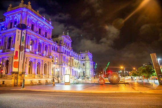 |
I start before first light as the brilliant lights of the city brilliantly illuminate the end of Queen Street mall on my way back to the river. |
 |
Low clouds hang in the humid air as I head upstream along the path. The brightly coloured Kiripla Bridge reflects almost perfectly in the water. |
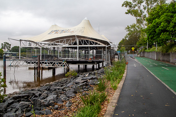 |
As I head upstream, the flooding from recent years is still evident, including this old restaurant which almost washed away in the floods and is now awaiting demolition. |
 |
I continue heading up the path as morning rain falls. It is very busy through here as the high rise buildings of the city's IT district give way to the start of the sprawling inner city residential areas. |
 |
After following the path for several more kilometres, I reach Toowong, where the track diverts away from the river heading towards the centre of the suburb. |
 |
From Toowong, the river turns into a peninsula around the University of Queensland. The track returns to the river making its way around the peninsula as rain falls and rowers paddle their long canoes along the river. At the end of the peninsula I reach the Eleanor Schonnell Bridge providing access to the university from the southside. This is also the upper limit of the city cats, although the wharf here has been closed since the floods awaiting reconstruction. |
 |
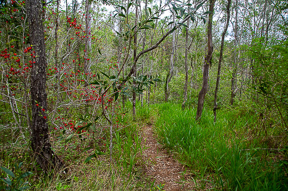
Heading around the other side of the peninsula, the track follows the road before diverting around the next bend in the river and entering dense bush crossing over one of the smaller tributaries. The track continues to the Indooroopilly Golf Course from where I follow the roads into the middle of Indooroopilly. |
 |
From the end of the peninsula at Indooroopilly, a sealed track over the river continues upstream for a while before re-entering suburbia crossing a few green parks. |
 |
The suburbia eventually ends as another track heads through scrubby bush for quite a while continuing upstream until reaching the mouth of Moggill Creek. From here the track follows the creek upstream. |
 |
The tracks end here at Rafting Ground Park where I end today's hike. Here is one of numerous markers indicating the height of the devastating 1974 flood. |
|
