Introduction to today's journey
Today's journey follows Moggill Road roughly continuing to follow the Brisbane River upstream until I reach Balbowrie, where I head to a park beside the river to watch the sunset.
Distance hiked today: 24.0km
Total distance hiked: 1162.3km
Today's Journey
 |
Starting at Rafting Ground, I follow Moggill Road through Pullenvale. |
 |
I follow several paths through suburbia, often diverting away from Moggill Road passing through the lush gardens of the suburbs. |
 |
The path enters some parkland along the muddy Pullenvale Creek. |
 |
The suburbs here are quiet and leafy under the hot sun. |
 |
I enter another parkland passing through open forest over the rolling hills. |
 |
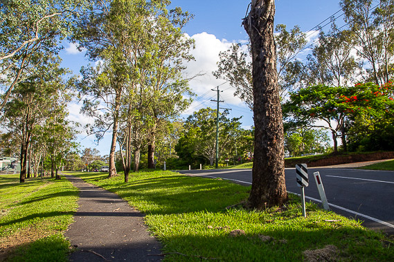
Eventually I return to Moggill Road where a footpath follows it continuing upstream along the Brisbane River hidden behind the forests. I spot a nicely painted concrete cutting as the road passes over a low hill. |
 |
Continuing along Moggill Road, the path is narrow but progress is reasonably quick. |
 |
After following the road a few more kilometres I reach Balbowrie shopping centre. Here I divert from Moggill Road. |
 |
The path follows a side road heading towards Booker Place Park. |
 |
Upon reaching the park, I reach the banks of the Brisbane River where I stay to watch the reverse sunset. |
|
