Introduction to today's journey
Today's journey follows the roads continuing upstream along the Brisbane River until I return to the river to cross at the tidal limit at Colleges Crossing. From here I continue following the roads across to Ipswich at the tidal limit of the Bremer River.
Distance hiked today: 19.5km
Total distance hiked: 1181.8km
Today's Journey
 |
The sun rises over the still Brisbane River just before I depart Booker Park and continue through Balbowrie. |
 |
Reaching Anstead Bushland, I find a walking track to the river in the increasingly hilly terrain as it meanders its way around the end of the D'Aguilar Range. |
 |
I continue following walking tracks through the park, and through Moggill Conservation Park. |
 |
Heading into Karana Downs, I follow the roads through bush and suburbia. |
 |
I rejoin the Brisbane River at Colleges Crossing, the tidal limit of the river about 90 kilometres upstream from its mouth. |
 |
From Colleges Crossing, I head south towards Ipswich crossing over the Warrego Highway heading westward towards Toowoomba and the outback. |
 |
Eventually I reach Ipswich hiking through the residential areas towards the city centre. |
 |
A paved track descends into the Bremer River, a large tributary of the Brisbane River. Ipswich marks the tidal limit of this river. |
 |
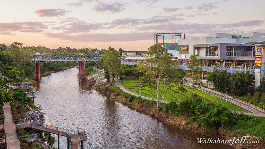
Crossing the river, I watch the sunset over Ipswich and the Bremer River. |
 |
I explore the Ipswich city centre during the evening before contemplating a couple of days heading downstream. |
|