Introduction to today's journey
Today's journey follows footpaths and paved walkways heading downstream along the Bremer River to where it flows into the Brisbane River and continue roughly following it downstream until finally meeting it again at Riverhills where I watch the sunset.
Distance hiked today: 32.6km
Total distance hiked: 1214.4km
Today's Journey
 |
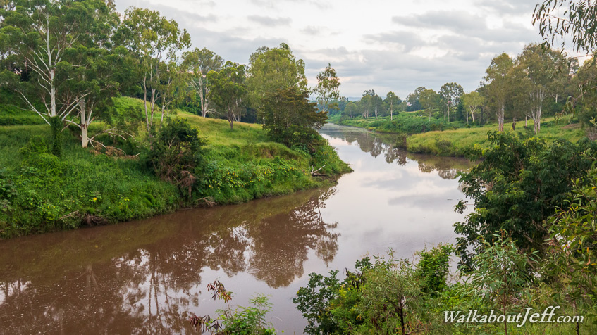
I set off from Ipswich at first light following the Bremer River downstream towards Brisbane. |
 |
The trail doesn't last long, so I end up following one of the main roads heading towards the coast. |
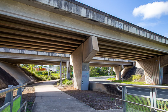 |
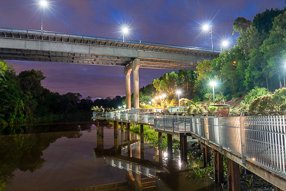
The wide and sealed path follows the roads and motorways all the way into Brisbane, making for an easy route to follow even though views of the Brisbane River are few and far between. |
 |
The one good view of the river I have is of the ferry crossing from the end of Balbowrie. The Bremer River flows into the Brisbane River a kilometre upstream from here. |
 |
The path continues following the motorways passing through alternating forest and residential areas as I continue downstream. |
 |
I stop for lunch in Goodna where the meandering river swings around at Prior's Pocket. |
 |
From here the trail continues following the noisy motorways towards Brisbane. |
 |
Eventually I'm able to divert away from the path heading back towards the river to follow a track down Wolston Creek into Riverhills. |
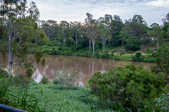 |
At the end of the trail I reach the river again directly opposite Booker Park in Balbowrie. |
 |
This part of the city does the Christmas lights very well. When the sun sets I explore some of these brightly lit residential areas. |
|